
PAS 128 Utility Surveys
PAS 128 Utility Surveys – Accurate Underground Mapping You Can Trust
Ensure the safety and success of your projects with PAS 128-compliant utility surveys from Malcolm Hughes. As a leading land
surveying and geospatial expert, we deliver precise underground utility mapping
to help you mitigate risks, avoid costly delays, and plan with confidence. Our PAS 128 surveys follow the British Standards Institution (BSI) specification for underground utility detection, verification and location. This industry recognised framework ensures a consistent and high quality approach to subsurface investigations.
Our PAS 128 Services Include:
✅ Type D – Desktop Utility
Records Search: We gather existing utility records to provide an initial
overview of underground services.
✅Type C – Site Reconnaissance: We verify utility records on-site,
identifying visible utility features and potential discrepancies.
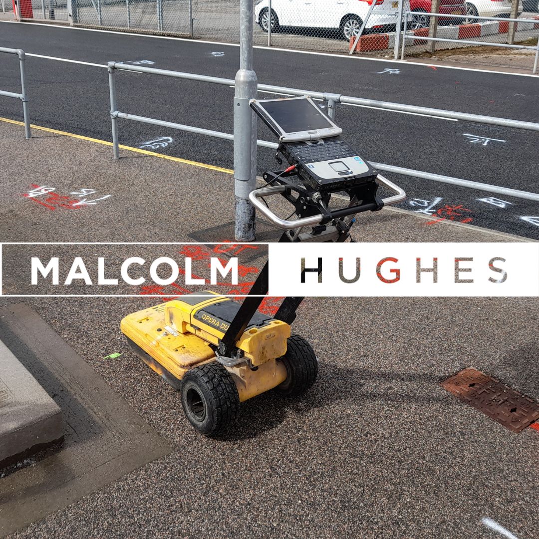
✅Type B – Detection Surveys: Using advanced techniques such as Ground
Penetrating Radar (GPR) and electromagnetic detection, we locate
underground utilities with defined confidence levels.
✅Type A – Utility Verification: The most precise survey method, using trial holes to confirm exact utility positions and attributes.
Why Choose Malcolm Hughes?
🔹 Fully PAS 128 Compliant – We adhere to the latest industry standards for accuracy and
reliability.
🔹Cutting-Edge Technology – Our expert surveyors use state of the art
equipment and are the (first and only UK company to own a Mala Compact) for precise utility mapping.
🔹Nationwide Coverage – With teams across the UK and Ireland, we provide
fast and efficient service wherever you need us.
Whether you’re involved in construction,
infrastructure, or asset management, our PAS 128 surveys provide the critical data you need to dig safely and plan effectively.