
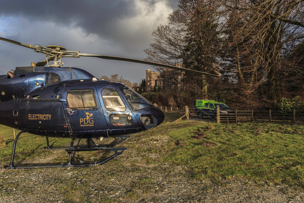
Helicopter Patrols
)
)
)
)
Using the latest remote sensing technology, we provide accurate survey and inspection assessments of various critical national infrastructure using our specialised fleet of aircraft and other aerial platforms.
Our high-quality multi-sensor approach allows for combined high-resolution images, video, infrared (for hot spots) and UV data (for corona discharge).
High quality, geo referenced imagery, combined with in‑depth analysis and bespoke cloud-based reporting, all support cost-effective asset integrity management for power lines, pipelines, telecoms, rail, wind turbines and other essential infrastructure.
With our specialist camera equipment, pilots and observers combined with our data analysts and software-agnostic portal, we record and compare in real-time allowing us to capture damage, corrosion and potential risks that could otherwise be missed or overlooked – ensuring the integrity of vital networks before they cause potentially catastrophic failures.