
Team UAV
- | Innovation

At Team UAV, we provide industry-leading, innovative drone services. With renowned professionalism and dedication to improving safety, we use the latest drone software and equipment to offer unparalleled inspections and surveys. Working in many different sectors, including Construction, Utilities, Emergency Services and Security, we provide real-world solutions to traditional problems.
Services
Our services break up into three main areas. Drone Inspections, Drone Surveys and Drone Security & Response.
Drone Inspections
Building Inspection, Roof Inspection, Confined Space Inspection, Electricity Asset Inspection, Wind Turbine Inspection, Pipeline Inspection, Bridge Inspection, Culvert Inspection, Leak Detection, Thermal Inspection, Solar PV Inspection, Telcoms & Mast Inspection and Chimney & Stack Inspection.
Drone Survey
Topographical Land Survey, 3D Modelling & Digital Twins, Digital Surface Modelling, Digital Terrain Modelling, Corridor Land Survey, LiDAR Survey, Point Cloud, Stockpile & Volumetric Calculations, Environmental Survey, Data Visualisation, Photogrammetry Processing and Progress Monitoring.
Drone Security & Drone Response
Global Political Events, Private Business Events, International Events, VIP & Sporting Events, Border Surveillance, Protest and Safety Monitoring, Festivals and Security, Drone Defence and Counter Drone & Airspace Management.
Address
2 The CourtyardHarris Business Park
Stoke Prior
Bromsgrove
Worcestershire
B60 4DJ
United Kingdom
Contact Exhibitor
Products
-
 Pipeline Inspection ExplainedTraditional pipeline inspection methods may have involved on-foot surveys, vehicle patrols, or aerial inspections using helicopters or fixed-wing aircraft. However, each o ...
 -
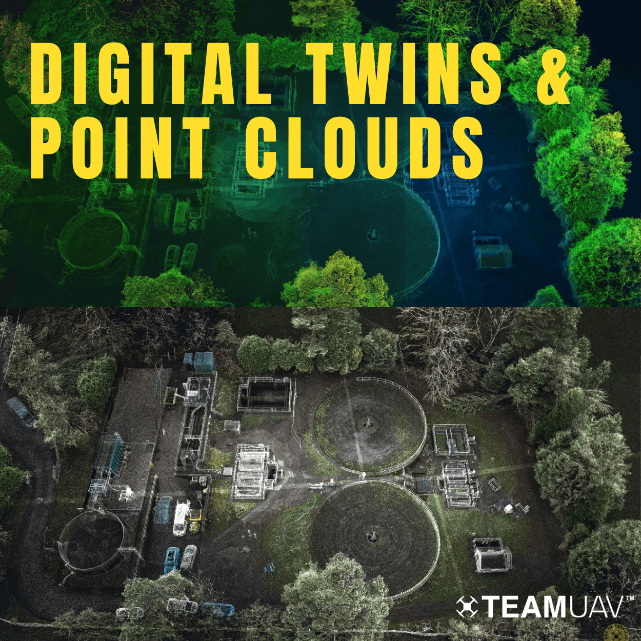 Digital Twins ExplainedA digital twin is a virtual replica or representation of a physical object, system, or process. In the context of Team UAVs expertise, a digital twin involves creating a detaile ...
 -
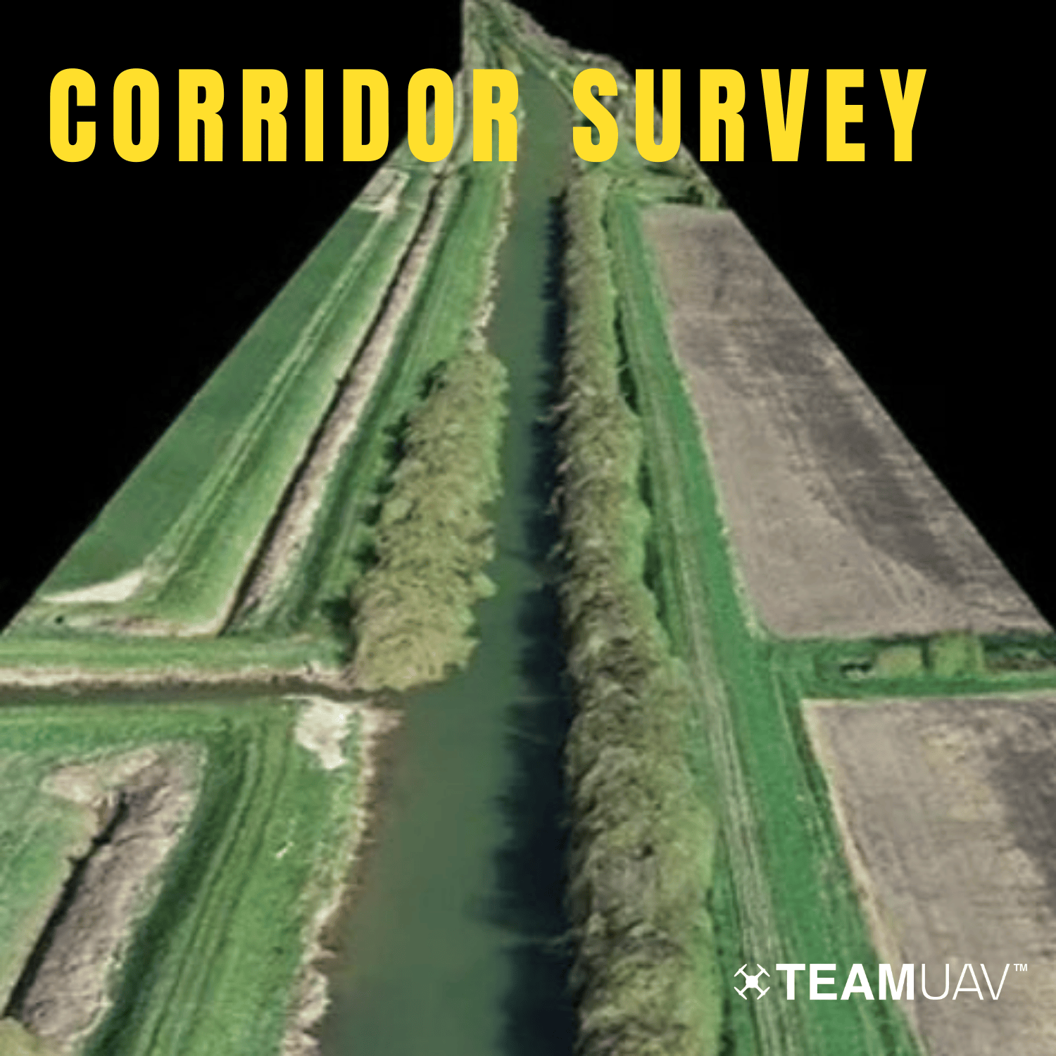 Corridor SurveyOur corridor survey service involves expert drone surveys tailored to assess and analyse various infrastructures, including railways, power lines, pipelines, and proposed routes. We emp ...
 -
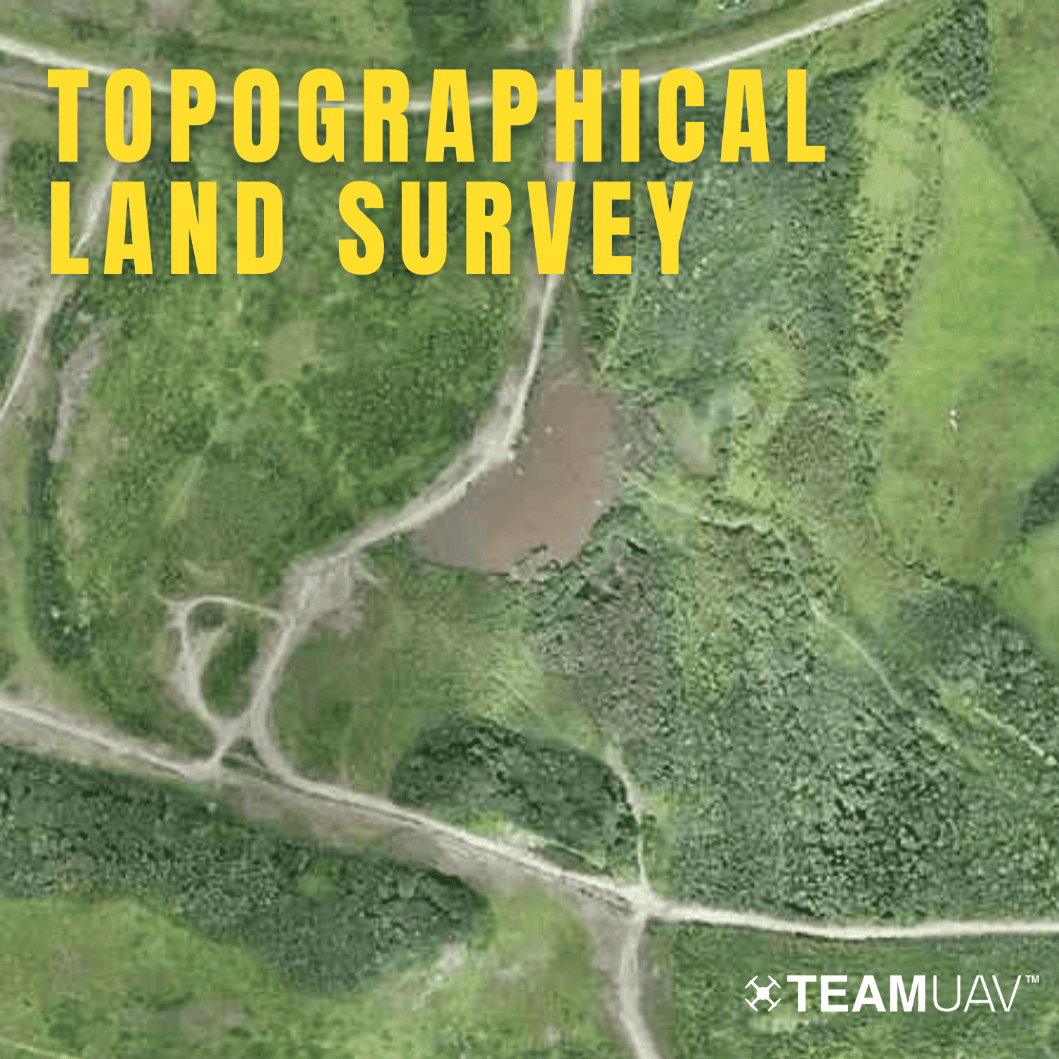 A topographical land survey is a comprehensive mapping process vital for capturing accurate and detailed information about the physical features of a landscape. At Team UAV, we elevate this process us ...
 -
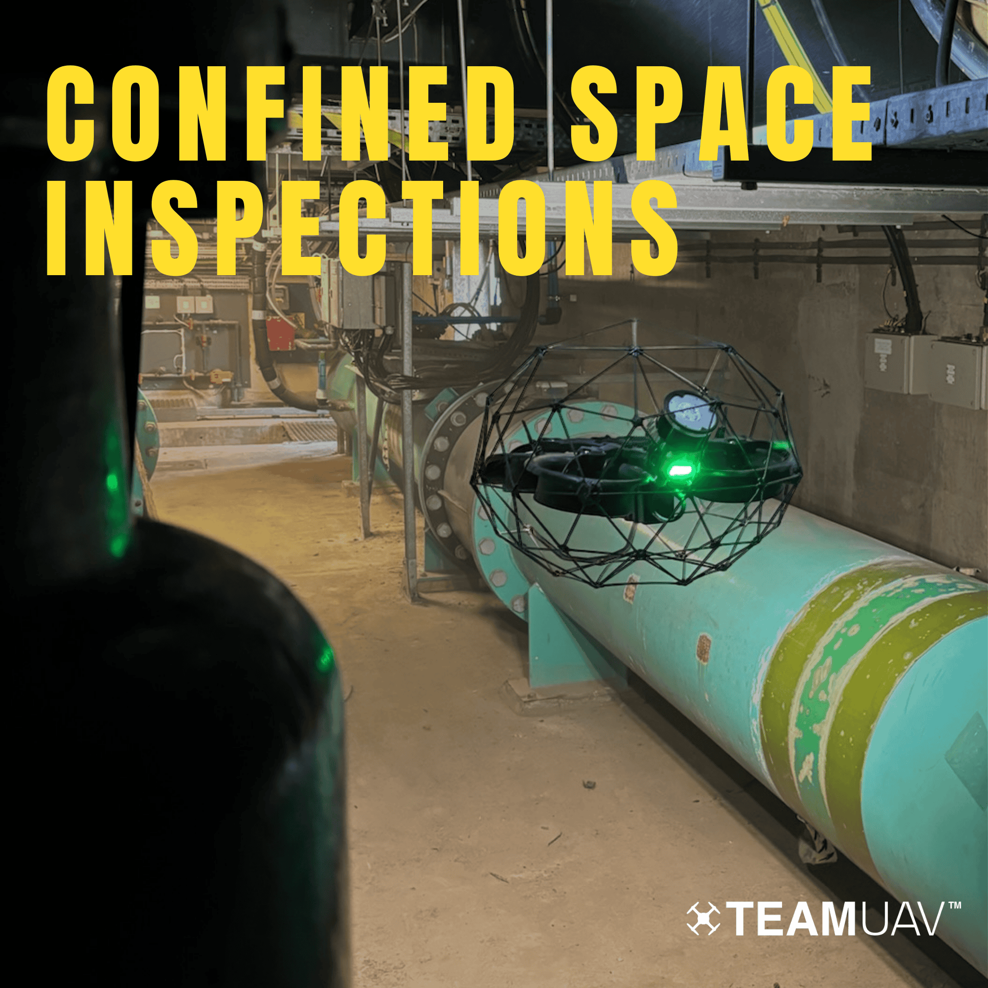 At Team UAV, we utilise advanced technology, including LiDAR and 4K ultra-high-definition sensors, to revolutionise confined space inspections. Our comprehensive approach ensures accurate point cloud ...
News
-
 This marks a significant step forward in our mission to provide industry-leading aerial solutions, combining cutting-edge UAV technology with PDG’s extensive expertise in aviation services.